Friday, December 20, 2019

Project: New version Dolomites

the project will be divided into 5 parts:
1) Tre Cime di Lavaredo natural park: it will include the Val Pusteria eastern part, the Sesto-Moso area, all the areas Auronzo-Misurina and Val Comelico up to S. Stefano di Cadore.
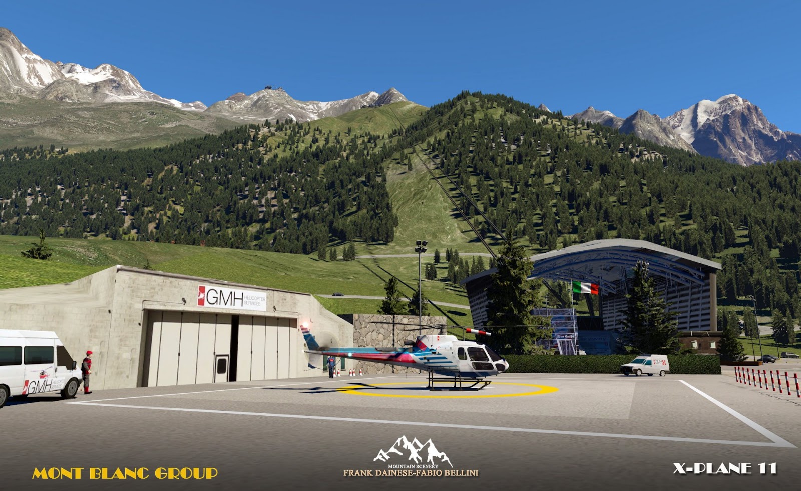
All Dolomites in this area from the Tre cime di Lavaredo to the Marmarole, are 11 groups divided into 18 3D models. Dobbiaco Airport (LIVD) and several Helipads.
2) Cortina d'Ampezzo and Cadore: with the Cortina city , the whole area of ​​Cadore up to Pieve di Cadore. All Dolomites in the area with the Cristallo group, Croda Rossa, the Tofane, Cinque Torri, Averau, Sorapis, Antelao ...
3) Agordino and Zoldana: with the Marmolada, the Pale di S.Mrtino, the Civetta and Pelmo and all the towns of Val Agordina and Zoladana.
4) Val Badia, Val Gardena Val di Fassa and Val di Funes: Sella Group, Sassolungo, Scillilar, Odle, Catinaccio and Latemar.
5) The Brenta Dolomites: from Pinzolo to Madonna di Campiglio.
Each scenery will have an area of ​​approximately 1000 sq. Km. with a total 64 Dolomite groups and a hundred 3D models.
All villages rebuilt with over 100 houses types, many renovated, all the parish churches in each villages and other typical buildings.
All vegetation mapped and positioned, the ground textures reconstructed based on the real, without using orthophotos but only photographs of area (mostly taken personally).
Almost all 3D models textures of the will be new up to 4K definition.
The scenery will not be compatible with the previous version one as the meshes were all redone and the 3D models repositioned.
We are working on the first Dolomites group.
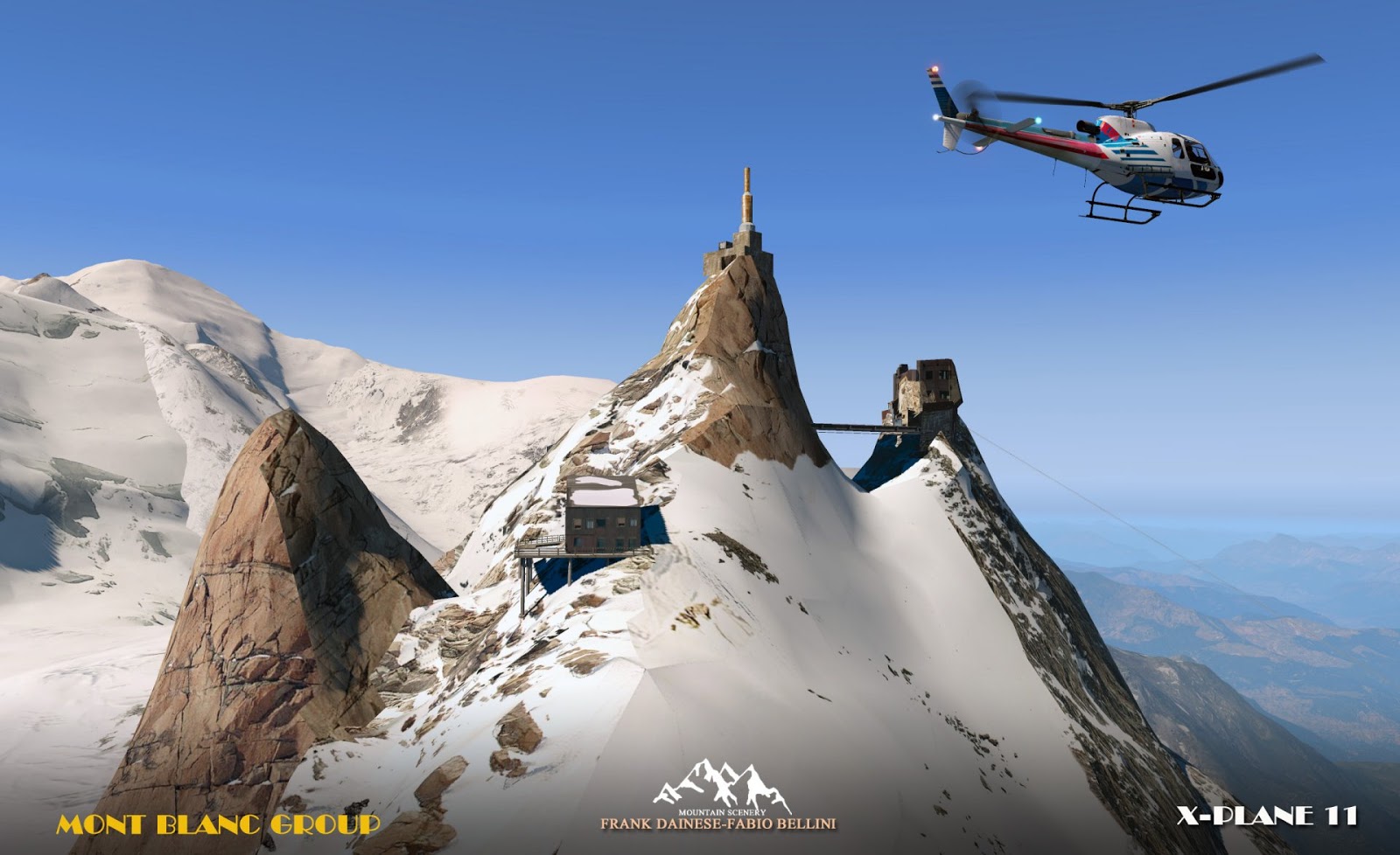
The scenery of the Three Peaks of Lavaredo, here are some preview:


Saturday, November 9, 2019

Mont Blanc Group release November 22 friday

November 22 Friday ...the Mont Blanc Group scenery will be available!

Features: The Mont Blanc Group is the most complex of all our scenery:
1) Area of over 900 sq. Km. Italian side with: Courmayeur, Entrèves, Pre Saint Didier and La Thuile
French side with Chamonix, Les Houches, Argentière
2) Over 10,000 houses located, of which many are personalized (many buildings reproduced) about 100 types of typical houses in the areas
3) 9 groups of mountains (3D models) reconstructed and placed on meshes (modified)
4) All the vegetation mapped and reproduced
5) Reconstructed the "eighth wonder" ... the SKYWAY of Mont Blanc with the three detailed stations
6) All the Italian and French shelters reconstructed and positioned on the models /mesh including: Italian side Bonatti, Boccalatte, Bertone, Elena, Elisabetta, Miage, Gervasutti, Monzino...
French side Nid d'Aigle, Tète Rousses, Gouter (normal route to the summit) ...Montenvers, Requin,Envers, Lognan...
7) Two (virtual) airports with grassy runways in Courmayeur (Dolonne area) and Chamonix (golf course area) to increase and make easy exploratory flight.
8) 3 official heliports, 1 in Courmayeur LICYH (near the Skyway base station) 1 in Chamonix (LFDZ) and Argentière (LFCMBH)
Another 9 heliports located in areas of interest (shelters..)
9) and much more ....


Chamonix:


Courmayuer:

Saturday, November 2, 2019

Friday, October 11, 2019

Beta-test started ...

Flight example: SKyway (Courmayeur) - Aiguille du Midi (Chamonix)
helicopter: AS350 B3 GMH (Courmayeur)
8000 ft height difference - time taken 25 minutes

Start Courmayeur - Helipad GMH


Pavillon - station


near Helbronner station


Helbronner station


towards intermediate pylon


Glacier du Géant


Aiguille du Midi


Station Aiguille


arrival station Aiguille du midi


Plan de l'Aiguille


Chamonix departure station

Saturday, September 28, 2019

First flight test report Italian side.

Completed the construction phase.
First flight (P92) in the summer morning hours, towards the Mont Blanc group and the Skyway (Italian side) of Courmayeur.
View the whole group from an altitude of 11,600 feet.


Close to Skyway intermediate station: Pavillon and the botanical garden.
various views:


At 3460 mt. the Skyway arrival station. Note also the old station and the Torino refuge.

same place but in the afternoon hours:

Approach to the terminal station:


The panoramic area dedicated to visitors ... has become a helipad: